Portage Avenue Pedestrian Use Study
A pedestrian-use study measuring how many people use Portage Avenue — a street with no sidewalk — before a major construction project adds dedicated pedestrian right-of-way. The same method will measure the project's impact afterward. Conducted in partnership with the City of Mora, Minnesota.
Deployment Overview
Deployment Parameters
Study Objectives
- •Measure how many people use a street that currently has no sidewalk
- •Establish a pre-construction baseline of pedestrian activity
- •Separate pedestrians from vehicles in a complex, mixed-traffic scene
- •Enable a like-for-like before/after comparison to quantify the project's impact
- •Distinguish cars, people, and other objects where simpler counters cannot
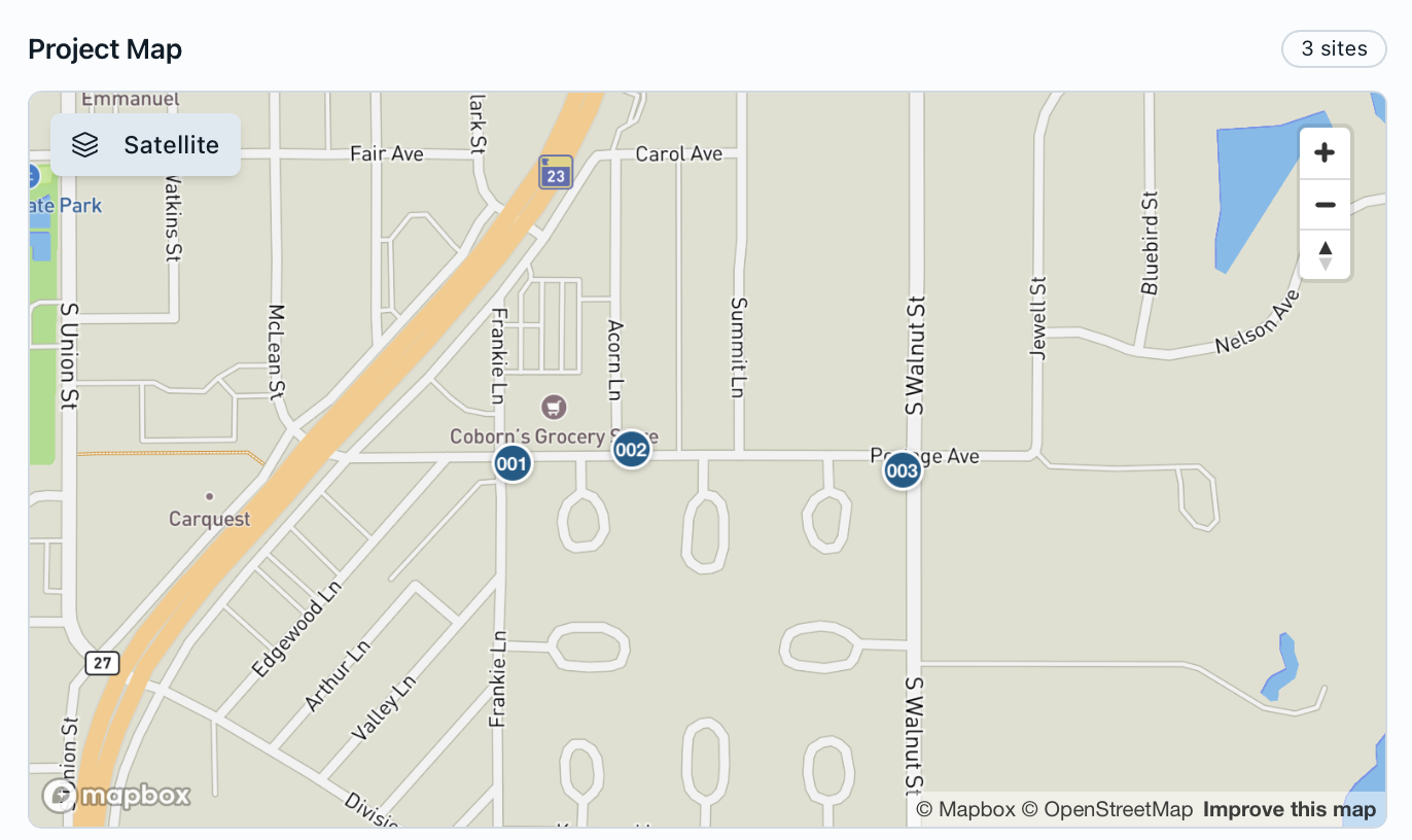
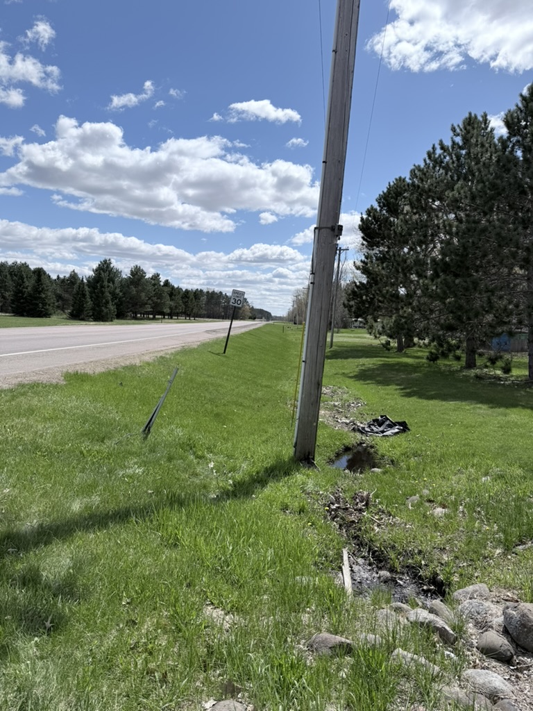
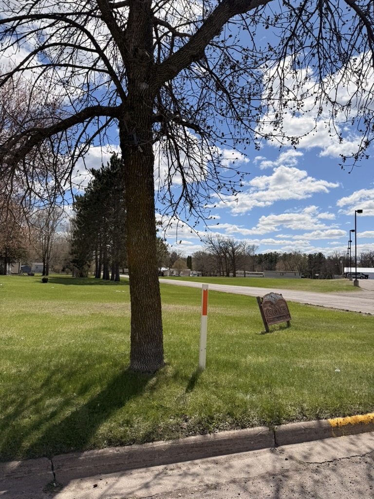
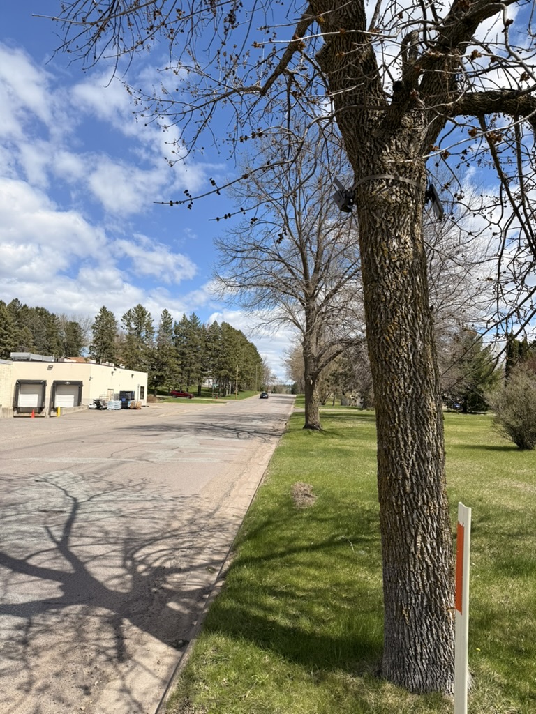
Site Description
Portage Avenue in Mora currently has no sidewalk, yet pedestrians share the corridor with vehicle traffic. The City of Mora is adding dedicated pedestrian right-of-way through an upcoming construction project and needs a credible baseline of how the street is used today. Capturing this setting is uniquely difficult: the scene mixes cars, pedestrians, and other objects that simpler infrared or tube counters cannot reliably separate. Waypoint's vision-based detection distinguishes each object type — making this baseline, and the planned after-study, possible.
The Corridor Today
Portage Avenue carries vehicle traffic with no sidewalk, leaving pedestrians to share the roadway and shoulder. These conditions are exactly what the upcoming right-of-way project is designed to fix — and what this baseline measures.
Deployment Results
Key Findings
A vehicle-dominated corridor
Only 502 of 18,678 detections (~2.7%) were people, quantifying how heavily Portage Avenue is used by traffic relative to pedestrians.
Pedestrians reliably isolated
Vision-based classification separated 502 pedestrian detections from thousands of vehicles — something infrared or tube counters cannot do.
A repeatable baseline
30,597 images processed establish a pre-construction reference the same method will reproduce after the right-of-way is built.
Proof in a complex scene
Over 6 days the system classified cars, pedestrians, and motorcycles — even horse buggies — from a single roadside vantage, enabling a study that would otherwise be infeasible.
System Performance
The deployment ran at 100% uptime across the six-day study. The high volume of detections on a busy roadway was notably battery-intensive — an important input for sizing solar capacity on future high-traffic sites.
Key Learnings from the Study
Every field deployment yields engineering and methodological insights. The following observations emerged from the Portage Avenue study and will inform future instrumentation and analytical approaches.
1. Size solar for the traffic volume
High-volume detection is battery-intensive. Where heavy traffic is anticipated, larger solar panels should be specified to sustain continuous operation.
2. Communicate deployments in advance
Pre-emptive communication matters — especially in urban settings — so nearby residents understand the deployment before it goes live.
3. Roadway imagery quality is sufficient
Image quality proved more than sufficient for high-use, high-mix detection on a roadway — reliably classifying cars, pedestrians, motorcycles, and even horse buggies.
Next Steps & Areas of Interest
The same method will be repeated after construction adds dedicated pedestrian right-of-way, giving the City of Mora a like-for-like before/after comparison of the project's impact on how the corridor is used.
Thank You
We appreciate the City of Mora's willingness to participate in this study and engage with the findings. This work was designed in the spirit of open inquiry—testing whether vision-based monitoring can meaningfully contribute to the toolset available to municipal planning professionals.