Running & Trail-Run Analytics
Distinguish runners from other trail users and understand when and where running activity concentrates — useful for event planning, route design, and managing shared-use conflict.
Questions We Answer
How many runners use this route?
When do runners peak versus other users?
Which direction do runners travel?
How does running volume shift seasonally?
What We Measure
Runner classification
Automatically separate runners from hikers and cyclists.
Time-of-day patterns
See the morning and evening windows when running peaks.
Directionality
Travel direction for loop, out-and-back, and event analysis.
Seasonal trends
Track how running activity changes across the year.
Planning & Operations Applications
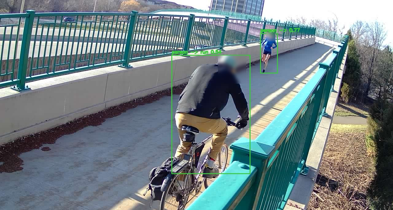
Separating Runners From Other Users
Most counting methods lump everyone on a trail into one number, yet runners behave nothing like the walkers, hikers, cyclists, and dog walkers around them — they peak earlier in the day, travel at different speeds, and use corridors differently. Waypoint classifies runners distinctly, so a single dataset reveals how each user group actually interacts with the trail system instead of flattening them into a single passage count.
Made visible by classification:
- Distinct runner counts vs. other users
- Morning and evening peak windows
- Directional and lap behavior
- Solo vs. group running
Training & Recreation Corridors
Certain routes become the spine of a community's running activity — and they're often not the ones planners assume. Identifying the corridors runners actually favor, and when they favor them, turns route planning and surface investment into a demand-driven decision rather than a guess.
Helps identify:
- Popular running routes and corridors
- Peak running periods by time of day
- Seasonal training patterns
- Corridor-level demand across the network
Event & Route Planning
Knowing when and where running concentrates makes race permitting and course design far more defensible, and it surfaces the windows where heavy running overlaps with other uses — the conflicts a permit reviewer or trail manager most wants to anticipate.
Useful for:
- Race and event permitting
- Course and route design
- Managing shared-use conflict windows
- Programming group runs
Supports:
- Trail width decisions
- Surface upgrades
- Conflict mitigation
Metrics We Capture
Every metric below is derived from image-validated detections — exportable and auditable, not modeled estimates.
From Raw Image to Real-Time Insight
Solar-powered field stations capture imagery that our AI turns into clean, classified detections in seconds.