
Case Studies
What land managers learned when they could count what happens on the ground.
Each case study starts with a question a city, park district or trail organization needed answered: did a project work, where are people going, is a court worth expanding. Here is how they answered it, and what the data showed.
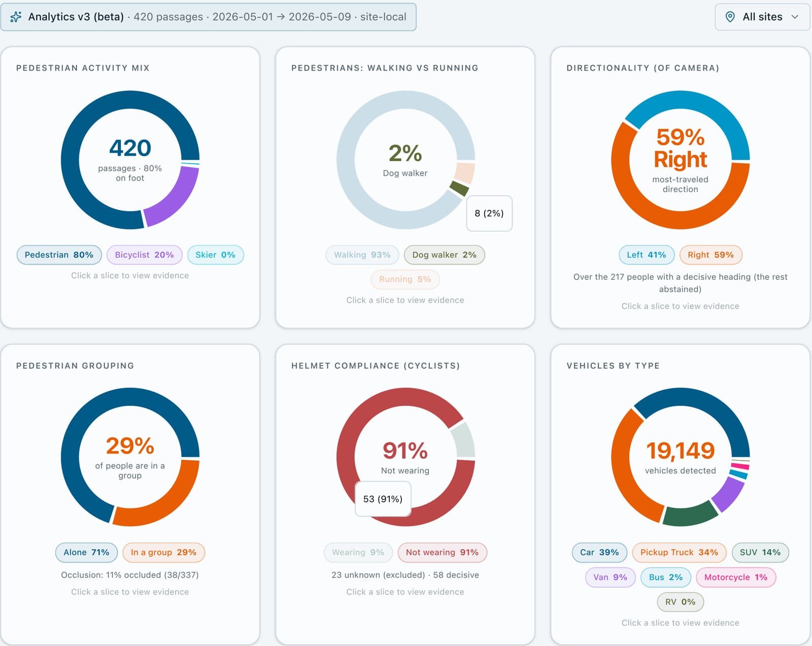
City of Mora
Measuring a pedestrian safety demonstration project before and after it went in
Mora, Minnesota
Mora added a protected walking and biking path to Portage Avenue, a street with no sidewalk. A before-and-after study at the same three places showed pedestrian activity up 60% once the path was in.
+60%
pedestrian passages per place per hour, before vs. after
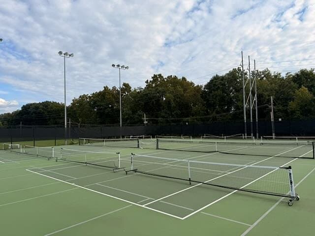
City of Leawood · Leawood, Kansas
Settling a pickleball and tennis debate with court-by-court utilization
Leawood City Park's courts were contested as pickleball grew. Measuring every court every ten minutes showed the pickleball courts in play 27% of open hours, and 73% at the 9 a.m. peak, against 3% to 15% for each tennis court.
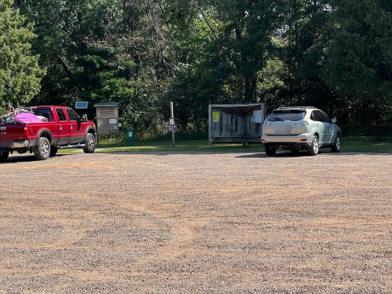
CORBA & Eau Claire County · Eau Claire, Wisconsin
Finding out who really uses a mountain bike park, and filtering out race day
CORBA is expanding the trails at Lowes Creek County Park. Four stations over 65 days showed 77% of trail users on foot and 16% on bikes, with races and pavilion crowds removed from the everyday counts.
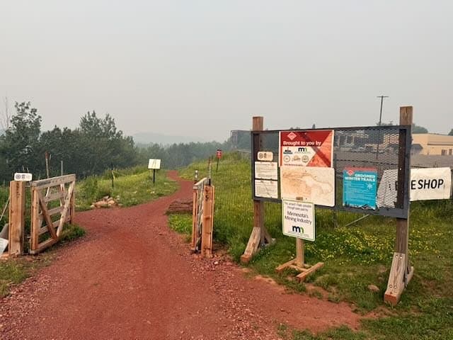
Redhead MTB Park & City of Chisholm · Chisholm, Minnesota
Counting 50,000 passages at a mine-pit bike park, with the parking lot left out
Four stations at Redhead Mountain Bike Park counted 50,488 passages in 107 days: 43% bikes, 38% on foot, 73% helmet use, a busiest hour of noon to 1 p.m., and an exclusion that kept parking-lot traffic out of every count.
Minnesota Department of Transportation · Edina, Minnesota
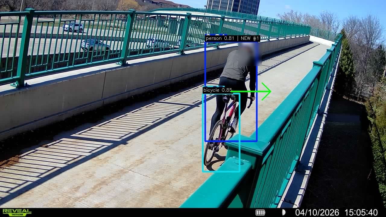
Testing AI trail cameras side by side with an infrared counter on a MnDOT trail bridge
On the Nine Mile Creek Regional Trail bridge over Highway 100, Waypoint cameras came within 7–12% of a loaned infrared counter's daily totals, and showed what it couldn't: 81% helmet use, dog walkers avoiding the bridge and motorbikes crossing it.
Three Rivers Park District · Bloomington, Minnesota
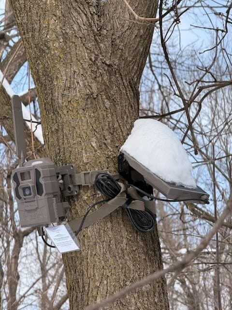
Counting cross-country skiers and winter trail users at Hyland Lake Park Reserve
Eight solar cameras counted 22,514 winter passages at Hyland Lake Park Reserve in 28 days, 26% on skis, and showed activity share trail by trail: 46% skiers on one trail, none on another. The pilot produced Waypoint's repeat-subject filter, which cut false counts from 31% to 3%.
Field deployments
Technical write-ups from earlier pilots: station layouts, uptime, detection counts and engineering lessons. More of these are being rewritten as case studies.
Three Rivers Park District
Hyland Lake Park Reserve: deployment notes
Four-week winter feasibility pilot across eight trail monitoring stations.
Minnesota Department of Transportation
Nine Mile Creek bridge: deployment notes
Engineering notes from the April 2026 pilot: stations, uptime and site placement.
Independent deployment
Lake Girard Trail System
Multistation, multimodal monitoring of trails and water access.
City of Mora
Portage Avenue: deployment notes
Engineering notes from the May 2026 baseline: uptime, power and imagery.
Ready to understand how your spaces are being used?
Tell us what you’re trying to measure. We’ll help you determine the right deployment.
Not sure how many sensors you need? Tell us about your trails, courts, parks, or study area and we’ll recommend a deployment.